Filtering by
- Resource Type: Text

Linking the Long-Range Plan and Construction Program: P2P Link Methodologies and Implementation Plan
Planning to Programming Link development started with ADOT's multimodal visioning called "Building a Quality Arizona" (bqAZ), the 2010 Statewide Transportation Planning Framework Study created a fiscally-unconstrained vision for the state's transportation system in 2050. bqAZ led to "What Moves You Arizona?," the state's Long-Range Transportation Plan 2010-2035, which applied financial constraint to the vision, identifying anticipated revenues and providing a recommended investment choice (RIC) that indicates how revenues will be allocated to four different investment types: preservation, expansion, modernization, and non-highway. The third step, and subject of this report, is "Linking the Long-Range Plan and Capital Improvement Program," or P2P Link, which focuses on how ADOT and its primary business partners, the Federal Highway Administration (FHWA), Metropolitan Planning Organizations (MPOs), and Councils of Governments (COGs), fund, build, maintain and operate the transportation system.

The Multimodal Planning Division (MPD) of the Arizona Department of Transportation has been tasked with identifying corridors throughout the state where improvements to the transportation infrastructure supports the greatest potential commercial and economic benefits. These "Key Commerce Corridors" represent a strategic statewide approach to leverage infrastructure improvements to enhance Arizona's competitive economic position. This document presents the basis for the identification and evaluation of the Key Commerce Corridors.
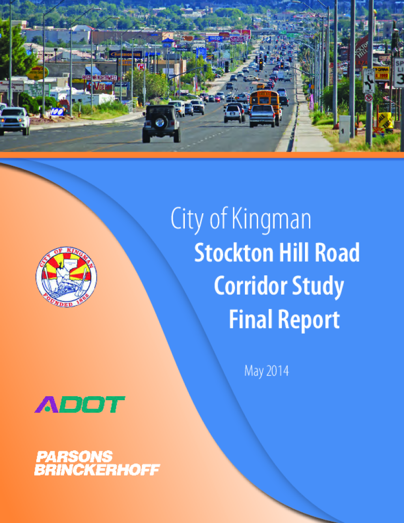
Through the Planning Assistance for Rural Areas (PARA) program, the Arizona Department of Transportation (ADOT), the city of Kingman and the Western Arizona Council of Governments (WACOG) are cooperatively conducting the Stockton Hill Road Corridor Study to identify needs and improvements to address the critical transportation needs along the 2.8-mile section of Stockton Hill Road between Detroit and Northern avenues.
Stockton Hill Road has become the centralized hub for big box commercial, retail, grocery and medical facilities within the region. The type of existing businesses and those planned along the corridor generate tremendous traffic volume. This study is working to develop the traffic, access and development needs for the users of the corridor. The traffic focus includes an in-depth analysis of the intersection volumes and congestion along the corridor.

This study will review and evaluate the area's transportation system to enhance business opportunities, improve supply chain performance and reliability, and coordinate access to and from major employment centers, all of which will increase economic development potential and create lasting value for the area.

This study will review and evaluate the area's transportation system to enhance business opportunities, improve supply chain performance and reliability, and coordinate access to and from major employment centers, all of which will increase economic development potential and create lasting value for the area.


Given the context for BRT planning in the Valley, this project, the Comprehensive Arterial Bus Rapid Transit Planning Study, is tasked with identifying demand for BRT and defining operational characteristics, capital infrastructure needs, and fleet requirements. The study considers how operational characteristics and needs of the BRT corridors may change as the regional transit network develops over the life of the 20 year transit program.

This floodplain study was prepared to identify the extent and magnitude of flooding within the boundary of the park under existing conditions. The results of the analysis and the associated hydrologic/hydraulic model will serve as the base condition model for all future developments to aid in the planning and design process.