Matching Items (134)
Filtering by
- Creators: Manning, Frederick S.
- Creators: Geological Survey (U.S.)
- Resource Type: Image

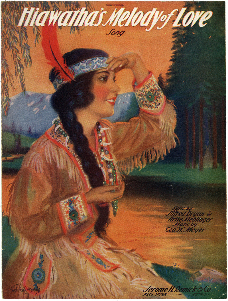
ContributorsManning, Frederick S. (Artist)
ContributorsManning, Frederick S. (Artist)
ContributorsManning, Frederick S. (Artist)
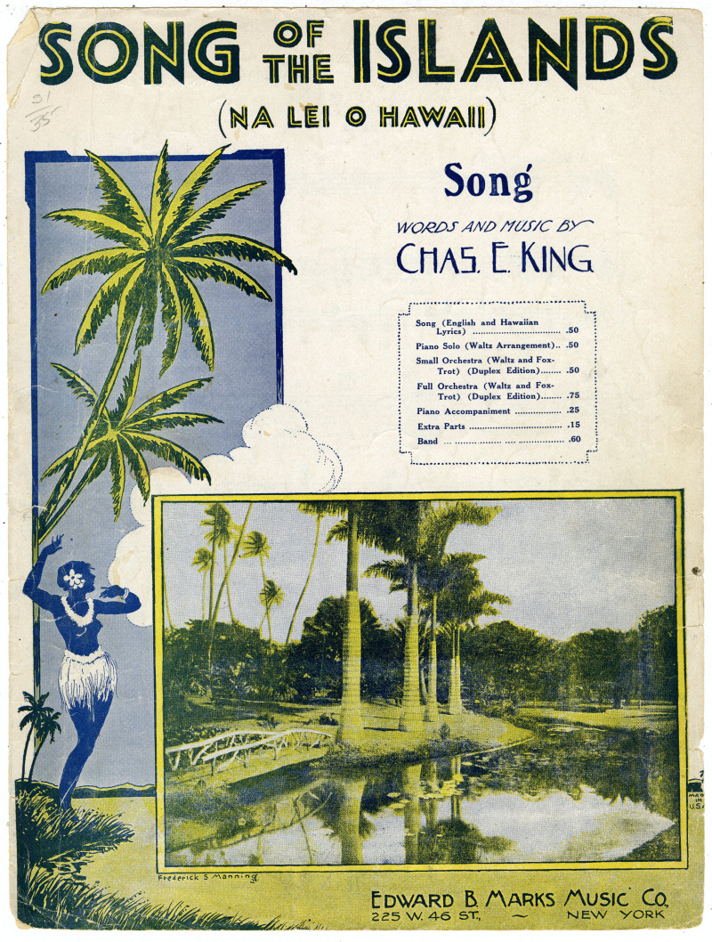
ContributorsManning, Frederick S. (Artist)

ContributorsManning, Frederick S. (Artist)

ContributorsManning, Frederick S. (Artist)
ContributorsManning, Frederick S. (Artist)

ContributorsBirdseye, C. H. (Claude Hale), 1878-1941 (Cartographer) / Gerdine, T. G. (Thomas Golding), 1872-1930 (Cartographer) / Fowler, A. T. (Cartographer) / Leech, V. E. (Cartographer) / Geological Survey (U.S.) (Issuing body) / Southern California Edison Company (Contributor)
Created1922
DescriptionPlan of the hydrography of a portion of the Colorado River between Lees Ferry and the Green River