Matching Items (157)
Filtering by
- Creators: Von Tilzer, Harry, 1872-1946
- Creators: Geological Survey (U.S.)
- Resource Type: Image

ContributorsFriedland, Anatol, 1881-1938 (Depicted)

ContributorsBingham, Kittie (Depicted) / Von Tilzer, Harry, 1872-1946 (Depicted)
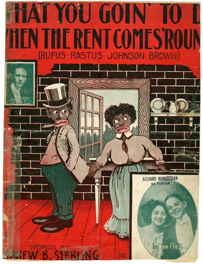
ContributorsTwo Pucks (Depicted) / Von Tilzer, Harry, 1872-1946 (Depicted) / Jenkins (Artist)

ContributorsDean, Laura (Depicted) / Von Tilzer, Harry, 1872-1946 (Depicted)

ContributorsBirdseye, C. H. (Claude Hale), 1878-1941 (Cartographer) / Gerdine, T. G. (Thomas Golding), 1872-1930 (Cartographer) / Fowler, A. T. (Cartographer) / Leech, V. E. (Cartographer) / Geological Survey (U.S.) (Issuing body) / Southern California Edison Company (Contributor)
Created1922
DescriptionPlan of the hydrography of a portion of the Colorado River between Lees Ferry and the Green River