Matching Items (365)
Filtering by
- Creators: Dunaway, Lola

ContributorsBirdseye, C. H. (Claude Hale), 1878-1941 (Cartographer) / Burchard, R. W. (Cartographer) / Geological Survey (U.S.) (Issuing body)
Created1924
DescriptionProfile of the canyonland topography of a portion of the Colorado River between Lees Ferry and Black Canyon

ContributorsBurchard, R. W. (Cartographer) / Geological Survey (U.S.) (Issuing body)
Created1927
DescriptionPlan of the hydrography of a portion of the Colorado River between Black Canyon and the Arizona-Sonora Boundary
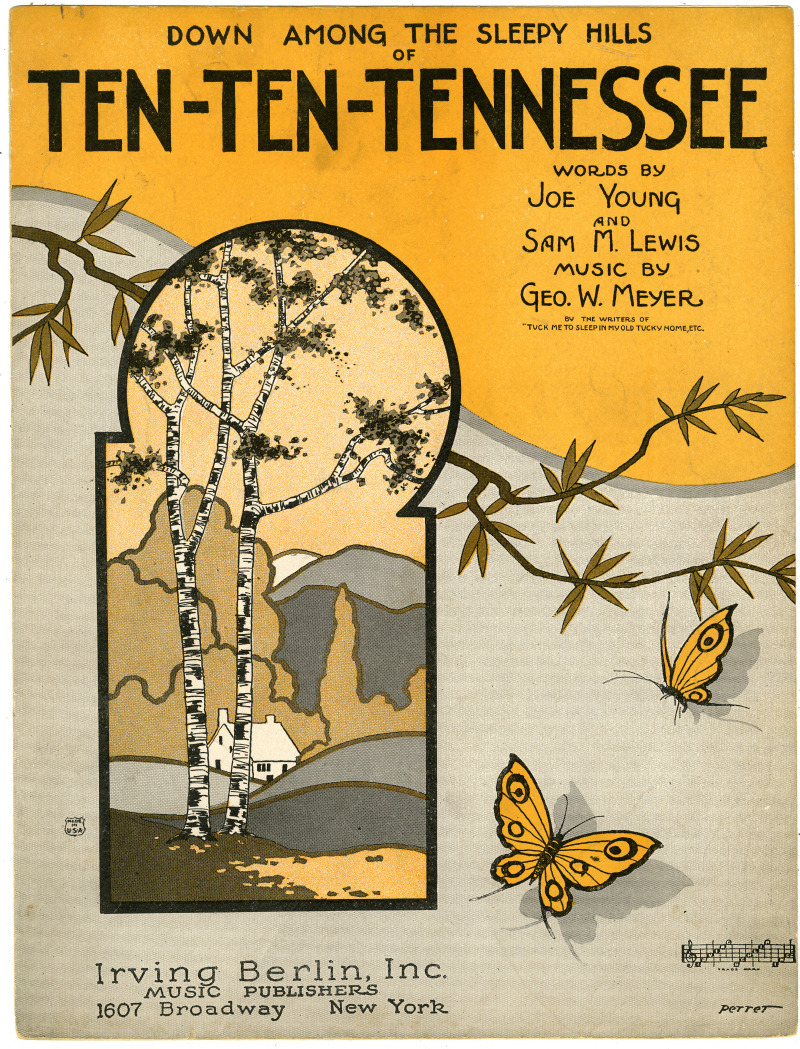
ContributorsPerret, Malcolm (Artist)

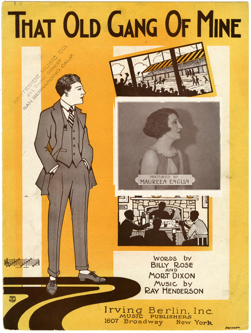
ContributorsPerret, Malcolm (Artist)

ContributorsGodt, Paul O. (Depicted) / Perret, Malcolm (Artist)
ContributorsEnglin, Maureen (Depicted) / Perret, Malcolm (Artist)

ContributorsBirdseye, C. H. (Claude Hale), 1878-1941 (Cartographer) / Burchard, R. W. (Cartographer) / Geological Survey (U.S.) (Issuing body)
Created1924
DescriptionProfile of the canyonland topography of a portion of the Colorado River between Lees Ferry and Black Canyon
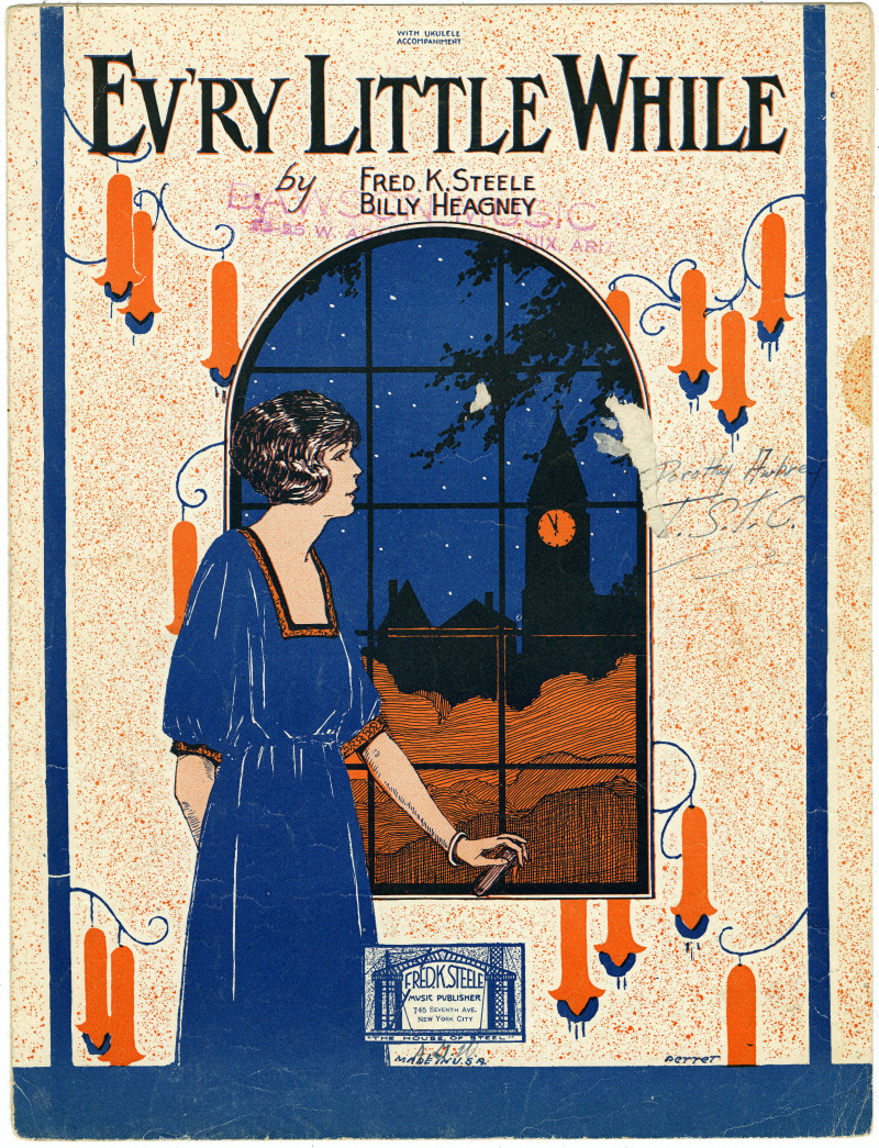
ContributorsPerret, Malcolm (Artist)

ContributorsPerret, Malcolm (Artist)
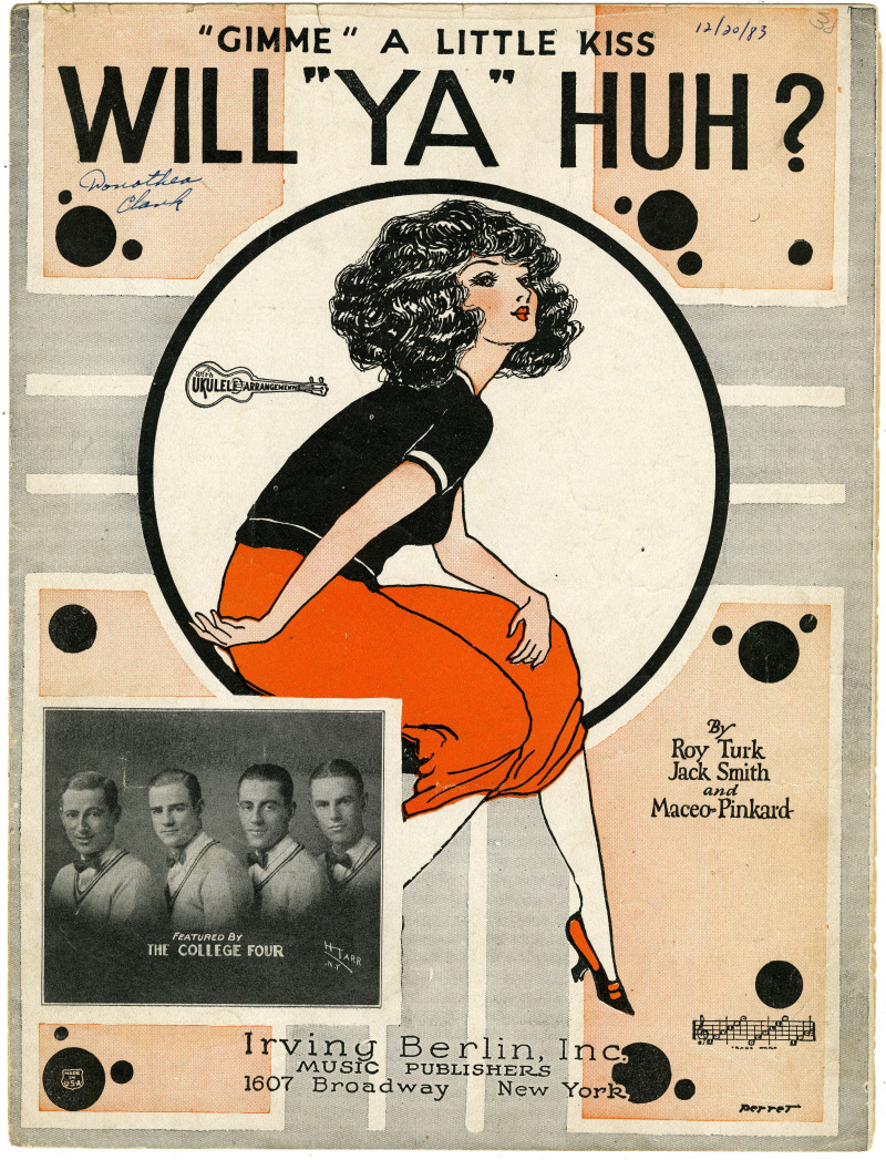
ContributorsThe College Four (Depicted) / Perret, Malcolm (Artist)