Matching Items (447)
Filtering by
- Creators: Dunaway, Lola
- Creators: Morse, Theodore F., 1873-1924

ContributorsPerret, Malcolm (Artist)

ContributorsHal Kemp and his Brunswick Recording Orchestra (Depicted) / Perret, Malcolm (Artist)

ContributorsBirdseye, C. H. (Claude Hale), 1878-1941 (Cartographer) / Gerdine, T. G. (Thomas Golding), 1872-1930 (Cartographer) / Fowler, A. T. (Cartographer) / Leech, V. E. (Cartographer) / Geological Survey (U.S.) (Issuing body) / Southern California Edison Company (Contributor)
Created1922
DescriptionProfile of the canyonland topography of a portion of the Colorado River between Lees Ferry and the Green River

ContributorsPerret, Malcolm (Artist)
ContributorsMorse, Theodore F., 1873-1924 (Composer) / Johnson, Howard (Lyricist) / Leo Feist, Inc. (Publisher)
Created1915
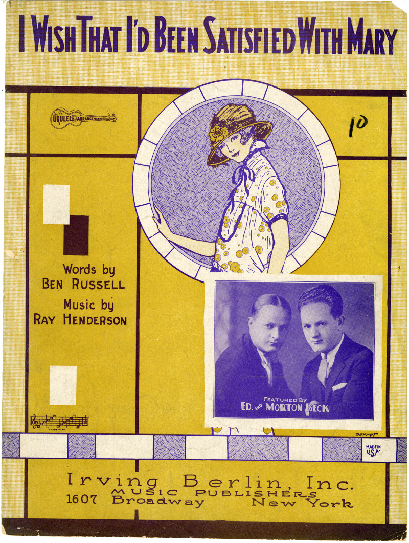
ContributorsBeck, Morton (Depicted) / Beck, Ed (Depicted) / Perret, Malcolm (Artist)

ContributorsHoey, Evelyn (Depicted) / Perret, Malcolm (Artist)

ContributorsBirdseye, C. H. (Claude Hale), 1878-1941 (Cartographer) / Gerdine, T. G. (Thomas Golding), 1872-1930 (Cartographer) / Fowler, A. T. (Cartographer) / Leech, V. E. (Cartographer) / Geological Survey (U.S.) (Issuing body) / Southern California Edison Company (Contributor)
Created1922
DescriptionProfile of the canyonland topography of a portion of the Colorado River between Lees Ferry and the Green River
ContributorsMorse, Theodore F., 1873-1924 (Composer) / Mahoney, Jack (Lyricist) / Theodore Morse Music Co. (Publisher)
Created1911