Matching Items (191)

ContributorsBurchard, R. W. (Cartographer) / Geological Survey (U.S.) (Issuing body)
Created1927
DescriptionProfile of the canyonland topography of a portion of the Colorado River between Black Canyon and the Arizona-Sonora Boundary

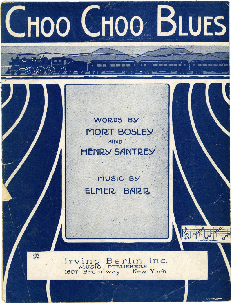
ContributorsPerret, Malcolm (Artist)

ContributorsPerret, Malcolm (Artist)

ContributorsPerret, Malcolm (Artist)
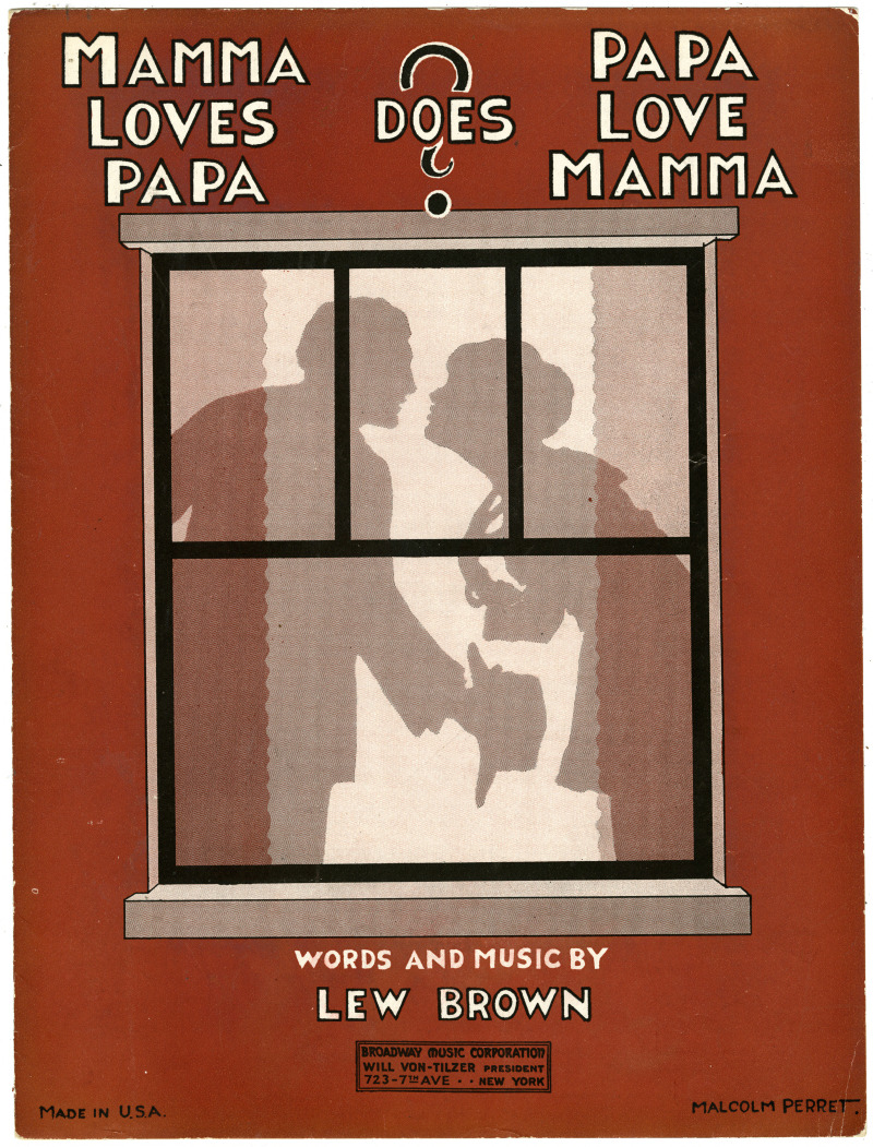
ContributorsPerret, Malcolm (Artist)

ContributorsPerret, Malcolm (Artist)

ContributorsPerret, Malcolm (Artist)
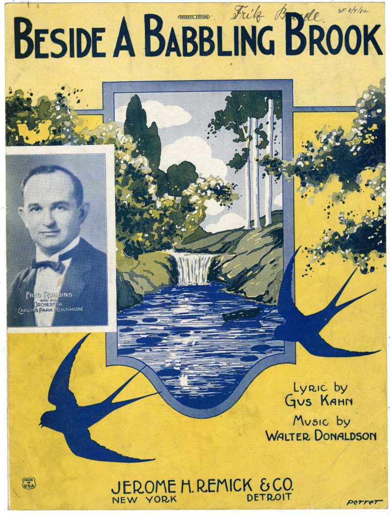
ContributorsRobbins, Fred (Depicted) / Perret, Malcolm (Artist)
ContributorsPerret, Malcolm (Artist)
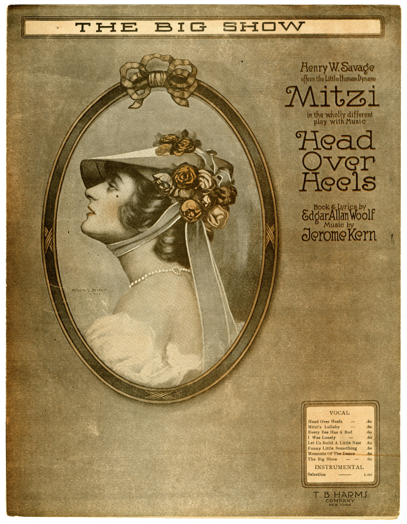
ContributorsHajor, Mitzi (Depicted) / Perret, Malcolm (Artist)