Matching Items (31)
Filtering by
- Creators: Fowler, A. T.
- Resource Type: Image
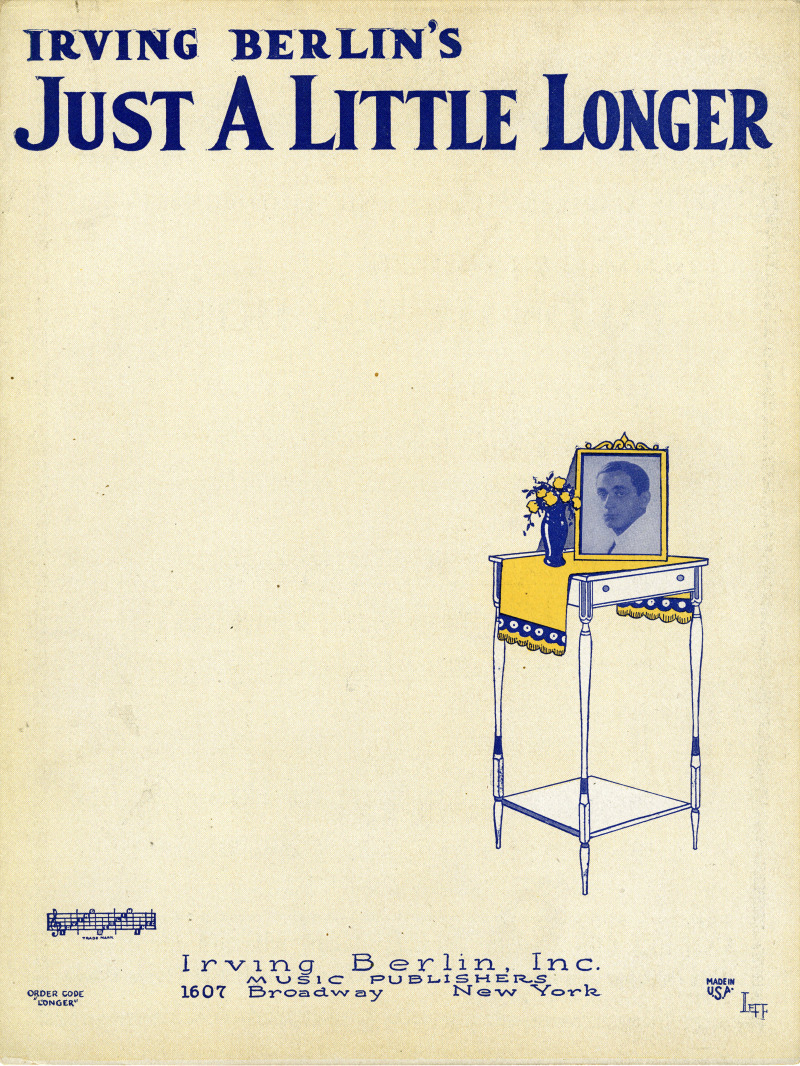
ContributorsBerlin, Irving, 1888-1989 (Depicted) / Leff, 1901-2005 (Artist)

ContributorsScott, William Bell, 1811-1890 (Author) / Connelly, Mollie (Transcriber)
Created1852-03-15
DescriptionConcerning Scott's declining of a book he was to borrow.

ContributorsStannard, Henrietta Eliza Vaughan Palmer, 1856-1911 (Author) / Connelly, Mollie (Transcriber)
Created1856 to 1911
DescriptionConcerning the autograph of Henrietta Eliza Vaughan Palmer as John Strange Winter.

ContributorsWashington, Booker T., 1856-1915 (Author) / Connelly, Mollie (Transcriber)
Created1915-05-11
DescriptionConcerning an appeal for scholarship money for the Tuskegee Normal and Industrial Institution for the Training of Colored Young Men and Women.

ContributorsBirdseye, C. H. (Claude Hale), 1878-1941 (Cartographer) / Gerdine, T. G. (Thomas Golding), 1872-1930 (Cartographer) / Fowler, A. T. (Cartographer) / Leech, V. E. (Cartographer) / Geological Survey (U.S.) (Issuing body) / Southern California Edison Company (Contributor)
Created1922
DescriptionPlan of the hydrography of a portion of the Colorado River between Lees Ferry and the Green River