Filtering by
- All Subjects: Flood control
- All Subjects: Roads--Design and construction
- Language: English
- Resource Type: Text


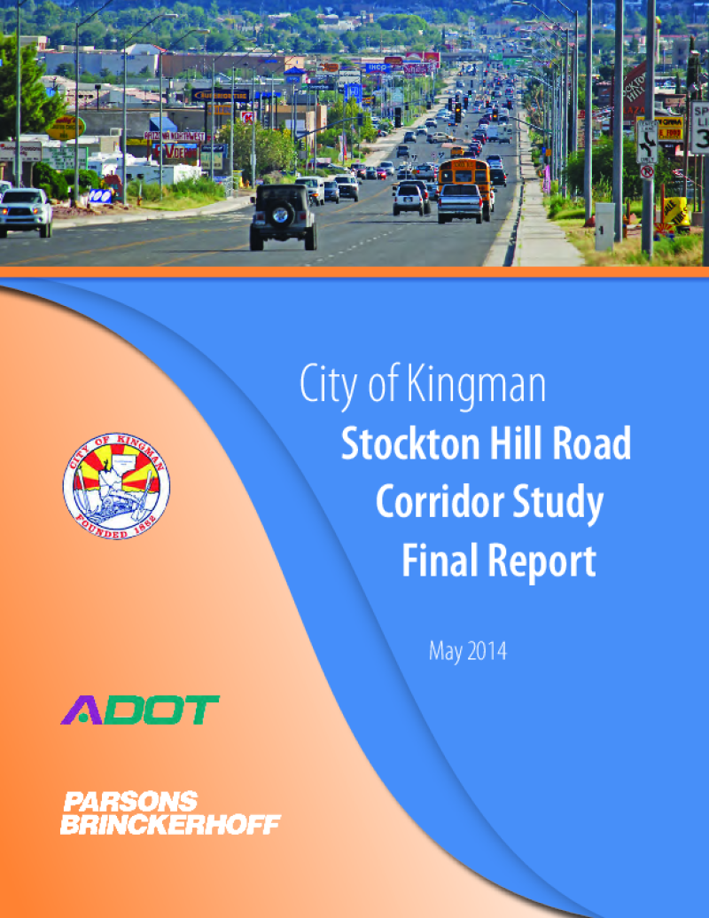
Through the Planning Assistance for Rural Areas (PARA) program, the Arizona Department of Transportation (ADOT), the city of Kingman and the Western Arizona Council of Governments (WACOG) are cooperatively conducting the Stockton Hill Road Corridor Study to identify needs and improvements to address the critical transportation needs along the 2.8-mile section of Stockton Hill Road between Detroit and Northern avenues.
Stockton Hill Road has become the centralized hub for big box commercial, retail, grocery and medical facilities within the region. The type of existing businesses and those planned along the corridor generate tremendous traffic volume. This study is working to develop the traffic, access and development needs for the users of the corridor. The traffic focus includes an in-depth analysis of the intersection volumes and congestion along the corridor.


This study, and the resulting transportation plan, is funded through ADOT’s Planning Assistance for Rural Areas (PARA) program. ADOT and the Town of Colorado City have retained the consultant team of Wilbur Smith Associates to conduct the study under the oversight and direction of a Technical Advisory Committee (TAC) that includes members from the Town of Colorado City; adjacent Hildale City, Utah; Mohave County; the Arizona Department of Transportation Multimodal Planning Division; the ADOT Flagstaff District Engineer’s office; and other interested parties.

The Study identifies a plan of improvements for transit and non-motorized transportation and outlines the specific actions necessary to implement and sustain the plan. The Study identifies projects that establish and improve the pedestrian and transit options for Community members. The development of these suggested projects includes consideration of evaluation criteria addressing such issues as safety and connection of multi-modal transportation modes throughout the Community and to the greater region.

The Town of Superior Small Area Transportation Study was initiated by the Town of Superior in conjunction with the Arizona Department of Transportation. The purpose of this study is to document existing roadway characteristics and operations, land use and socioeconomic conditions, and other existing transportation modes, and to craft a long-range transportation plan to meet the transportation needs of the Town of Superior. A travel demand model was prepared to forecast traffic volumes to assist in identifying the traffic impacts with the anticipated growth in and around the City.

The primary goals of the study are to define the current circulation system, evaluate its performance, forecast future needs, and prepare a plan for fulfilling the identified needs. The study is prepared for the Town of Sahuarita, pursuant to an intergovernmental agreement with the Arizona Department of Transportation through the auspices of ADOT's small area transportation studies program. The Town of Sahuarita General Plan was adopted in November 1996 to guide development within the town and its sphere of influence. The circulation element contained in the General Plan identifies specific objectives for consideration in the planning and development process.

A report shall be prepared at least every five years beginning in 1985 and shall indicate the past efforts of the district in eliminating or minimizing flood control problems and state the planned future work of the district to eliminate or minimize flood control problems.