Filtering by
- All Subjects: Pima County (Ariz.)
- All Subjects: Highway planning
- All Subjects: Desert conservation
- Creators: Parsons Brinckerhoff
- Creators: Pima County (Ariz.). County Attorney's Office
- Creators: Sayre, Nathan F
The Drug Treatment Alternative to Prison (DTAP) Program enables drug addicted criminal defendants to plead guilty to an offense and then enter a residential, therapeutic community treatment system for three years as an alternative to a prison sentence. The Program begins with three months of in-patient, residential drug treatment followed by wraparound recovery support services managed by a resources specialist, including transitional housing, literacy services, higher education, job training and placement services, and counseling, accompanied by drug testing, probation monitoring, and regular court hearings.
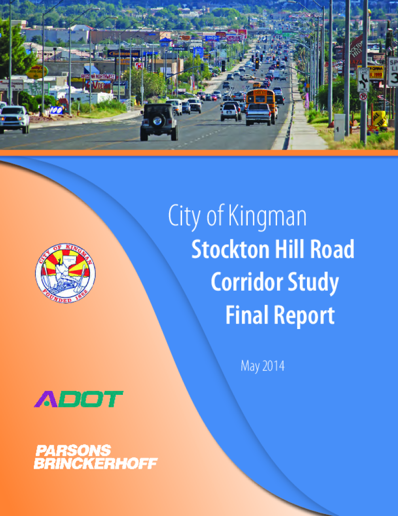
Through the Planning Assistance for Rural Areas (PARA) program, the Arizona Department of Transportation (ADOT), the city of Kingman and the Western Arizona Council of Governments (WACOG) are cooperatively conducting the Stockton Hill Road Corridor Study to identify needs and improvements to address the critical transportation needs along the 2.8-mile section of Stockton Hill Road between Detroit and Northern avenues.
Stockton Hill Road has become the centralized hub for big box commercial, retail, grocery and medical facilities within the region. The type of existing businesses and those planned along the corridor generate tremendous traffic volume. This study is working to develop the traffic, access and development needs for the users of the corridor. The traffic focus includes an in-depth analysis of the intersection volumes and congestion along the corridor.

A companion to the Preliminary Ranch Conservation Element, this report brings together leaders in the area of ranch conservation and compiles their expert writings on ecological and economic sustainability in ranching.

This floodplain study was prepared to identify the extent and magnitude of flooding within the boundary of the park under existing conditions. The results of the analysis and the associated hydrologic/hydraulic model will serve as the base condition model for all future developments to aid in the planning and design process.