Filtering by
- All Subjects: Roads
- Creators: Arizona. Department of Transportation
- Creators: Demaray, A. E.
- Creators: Steeves, X. N.


Letter from A. E. Demaray to Carl Hayden with Superintendent Tillotson's report on the road between Grand Canyon Village and Rowe's Well.

Letter from A. E. Demaray to Carl T. Hayden concerning the dates and participants of a congressional party visit that begins in San Francisco, Calif., and includes the Roosevelt-Sequoia National Park, Calif.; Needles, Calif.; Grand Canyon National Park, Ariz.; Flagstaff, Ariz.; Keams Canyon, Hopi Nation; Fort Defiance, Navajo Nation; Shiprock, Navajo Nation; and the Pueblo of Zuni.

Letter from X. N. Steeves to Carl T. Hayden describing road conditions around the Grand Canyon National Park.
The five-year construction program is a budget of what Arizona expects to receive in funds from various sources and how it proposes to spend them project by project. The highways and airport programs will result in a better quality of life for all citizens.
The purpose of the Program is to set forth the plan for developing projects and account for the spending funds for the next five years. All projects in the first two years of the program will be fully funded and ready to advertise within the year programmed or sooner as determined by the State Transportation Board. The last three years of the program will be illustrative in nature and be used to establish an implementation plan for projects moving through the various preparation phases needed prior to the construction of the project.
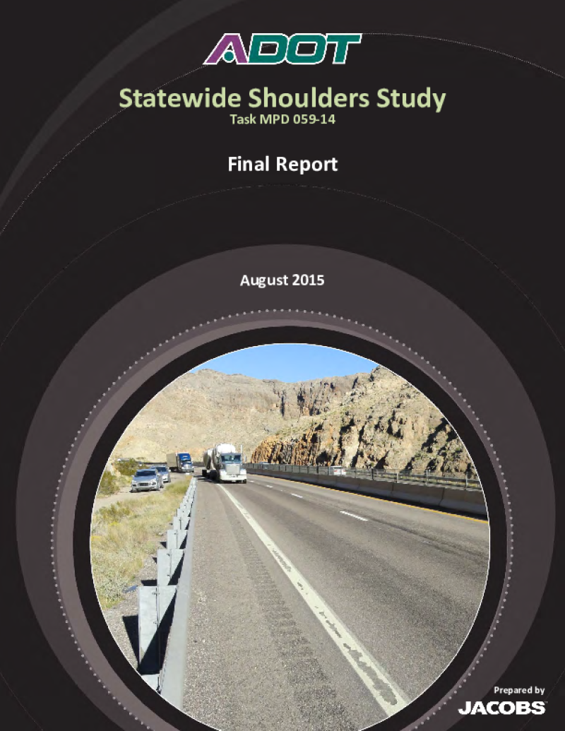
This report describes a series of full-scale vehicular crash tests conducted to evaluate the impact performance of small sign supports used by the Arizona Department of Transportation (ADOT). The tests were conducted and evaluated in accordance with the recommendations of NCHRP Report 230 and the 1985 AASHTO "Standard Specifications for Structural Supports for Highway Signs, Luminaires and Traffic Signals."


Bellemont is a rural, unincorporated community with a population of approximately 1,000 residents in Coconino County that has become a suburb of Flagstaff, where residents commute to work. Three roads ó Interstate 40 (I-40), Brannigan Park Road and Shadow Mountain Drive ó are used to access virtually all the private land north of I-40 at Bellemont. Frequent congestion from heavy truck volumes and subdivision traffic causes traffic delays and creates concern for safety and timely emergency response. The 2008 closure of the ADOT Parks Rest Area on I-40, just west of Bellemont, has also increased vehicular traffic accessing the truck stop and restaurants. Future build-out of the subdivision and potential commercial/industrial uses in the area are expected to continue to negatively affect the Brannigan Park Road and Shadow Mountain Drive intersection and the I-40 traffic interchange. ADOT recently prepared the I-40 Bellemont to Winona Initial Design Concept Report, which recommended long-term improvements for the intersection and traffic interchange.
Ultimately, this access management and multimodal transportation study will provide a comprehensive review of the Bellemont area transportation system and provide guidance for determining priority needs for future improvements north of I-40, including alleviating congestion and improving/managing access, and improving and evaluating multimodal access to businesses from residential areas.