Filtering by
- All Subjects: Grand Canyon National Park (Ariz.)
- All Subjects: Phoenix (Ariz.)
- All Subjects: Highway planning
- Language: English
- Resource Type: Text


The list was compiled by the Department of Water Resources in cooperation with the Landscape Technical committee of the Arizona Municipal Water Users Association, comprised of experts from the Desert Botanical Garden, the Arizona Department of Transportation and various municipal, nursery and landscape specialists. Individuals wishing to add or delete plants from the list may submit information to the Director of the Arizona Department of Water Resources for consideration.

The objective of the Verde Valley Master Transportation Study (VVMTS) is to provide the participating members of the Verde Valley Transportation Planning Organization (VVTPO) an update on the performance of the major roads in their respective jurisdictions and provide an implementation planning tool for programming of funds for improvement of their transportation system. This regional collaboration will also provide a performance measure of how the transportation system as a whole is operating in the Verde Valley.
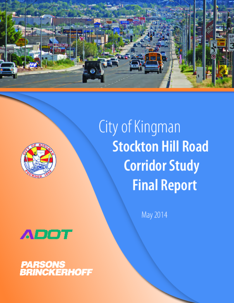
Through the Planning Assistance for Rural Areas (PARA) program, the Arizona Department of Transportation (ADOT), the city of Kingman and the Western Arizona Council of Governments (WACOG) are cooperatively conducting the Stockton Hill Road Corridor Study to identify needs and improvements to address the critical transportation needs along the 2.8-mile section of Stockton Hill Road between Detroit and Northern avenues.
Stockton Hill Road has become the centralized hub for big box commercial, retail, grocery and medical facilities within the region. The type of existing businesses and those planned along the corridor generate tremendous traffic volume. This study is working to develop the traffic, access and development needs for the users of the corridor. The traffic focus includes an in-depth analysis of the intersection volumes and congestion along the corridor.

The Ak-Chin Indian Community is nestled in the Santa Cruz Valley of Southern Arizona and encompasses 22,160 acres. Situated in northwestern Pinal County, the central portion of the Community is located five miles south of the City of Maricopa. State Route 347 runs north-south through the center of the Community, serving the Community, the City and the County. This roadway provides a direct route to Interstate 10 and the Phoenix metropolitan area, which is just 40 miles to the north. SR 347 also connects to Interstate 8 approximately 15 miles to the south. A second State facility, State Route 238 intersects the north end of the Community and provides east-west access to the City of Maricopa and SR 347 from the western edge of the Community. These regional facilities provide the Community with access to many needed services that are not available within the Community itself, including medical providers, shopping, and schools. Beyond the accessibility and mobility afforded by the State facilities, the Community is relatively landlocked served directly by only three rural roadways: Peters and Nall Road, Farrell Road and Ralston Road.
This planning project is to update the Ak-Chin Indian Communityís Long Range Transportation Plan. The study area is within the Community boundaries and adjacent Community-owned land. The principal focus of the project is to address the most critical transportation planning needs identified by the Community. This will include, but is not limited to a needs analysis and evaluation for all priority roadway corridors within the project area. The major transportation goals of the Community include: (1) Promote an effective, well-planned transportation system of roadways that establishes functional, safe, and durable streets; (2) Create ordinances, policies, or design guidelines that support the transportation plan; and (3) Provide for and encourage use of non-vehicle modes of transportation. The major product of the study will be a final report, which contains the updated Ak-Chin Indian Community Long Range Transportation Plan and a Plan for Improvements. Taking into consideration received input, the updated LRTP will span over five, ten and twenty year periods, incorporating both roadways and the multimodal needs of the Community.
Development of the Ak-Chin Indian Community Long Range Transportation Plan will be conducted according to a cooperative planning process involving stakeholders that include Community departmental staff, public agency staff, elected Community officials, and Community members. Throughout the study, information will be presented to and solicited from stakeholders through interviews and to the general public through public meetings and other means of communication.

Amendments to the bill establishing the Grand Canyon a National Monument. Circa 1908.

Editoral attacking Senator Ralph Cameron for attempting to buy Bright Angel Trail.

Travel statistics for Grand Canyon National Park.

Rebuttal to the editoral published in the Coconino Sun attacking Ralph Cameron.