Arizona State and Local Government Documents Collection

The State and Local Arizona Documents (SALAD) collection contains documents published by the State of Arizona, its Counties, incorporated Cities or Towns, or affiliated Councils of Government; documents produced under the auspices of a state or local agency, board, commission or department, including reports made to these units; and Salt River Project, a licensed municipality. ASU is a primary collector of state publications and makes a concerted effort to acquire and catalog most materials published by state and local governmental agencies.
The ASU Digital Repository provides access to digital SALAD publications, however the ASU Libraries’ non-digitized Arizona documents can be searched through the ASU Libraries Catalog. For additional assistance, Ask A Government Documents Librarian.
Publications issued by the Morrison Institute for Public Programs at Arizona State University are also available in PRISM, in the Morrison Institute for Public Policy - Publications Archive collection.
Filtering by
- All Subjects: Highway planning
- All Subjects: Housing -- Arizona -- Phoenix


The transition strategy presented in this report describes a set of coordinated interventions necessary to create sustainable housing in the Uptown District. The current state of housing in the District is not sustainable for housing options and affordability. There is a clear need for effective interventions to achieve a sustainable state of housing.

This report describes the development of base and future socioeconomic estimates for the Pinal Corridor Planning Model, developed by ADOT to support the evaluation of potential new highway corridors in Northern Pinal County. This section presents a summary of the methodology, data sources used, and historical trends in population and employment growth. The following two sections present the base and future year methods and resulting estimates of population and employment.

The objective of the Verde Valley Master Transportation Study (VVMTS) is to provide the participating members of the Verde Valley Transportation Planning Organization (VVTPO) an update on the performance of the major roads in their respective jurisdictions and provide an implementation planning tool for programming of funds for improvement of their transportation system. This regional collaboration will also provide a performance measure of how the transportation system as a whole is operating in the Verde Valley.
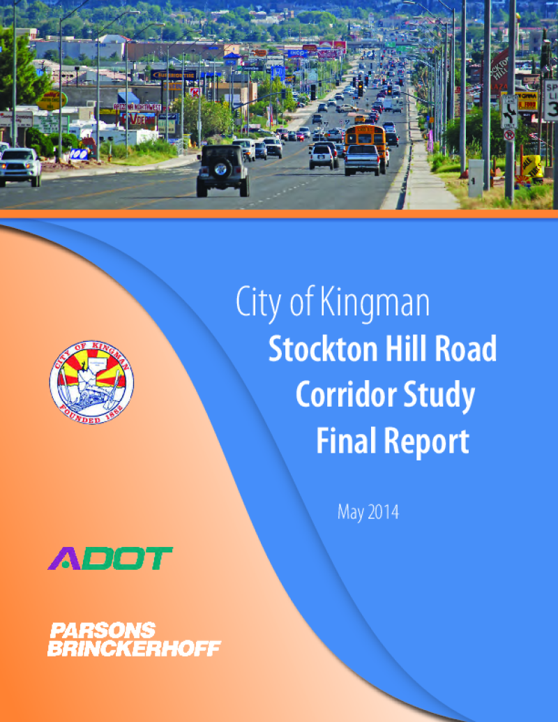
Through the Planning Assistance for Rural Areas (PARA) program, the Arizona Department of Transportation (ADOT), the city of Kingman and the Western Arizona Council of Governments (WACOG) are cooperatively conducting the Stockton Hill Road Corridor Study to identify needs and improvements to address the critical transportation needs along the 2.8-mile section of Stockton Hill Road between Detroit and Northern avenues.
Stockton Hill Road has become the centralized hub for big box commercial, retail, grocery and medical facilities within the region. The type of existing businesses and those planned along the corridor generate tremendous traffic volume. This study is working to develop the traffic, access and development needs for the users of the corridor. The traffic focus includes an in-depth analysis of the intersection volumes and congestion along the corridor.


The proposed Meridian Road Corridor Study is needed to support the continuing development and growth, occurring and anticipated, in the East Mesa, West Apache Junction, and within Pinal County. The purpose of the Meridian Road Corridor Study is to document conditions along the existing roadway and to develop alternatives that will increase the safety and future level of service of Meridian Road. This study will also establish a roadway footprint and develop the ultimate right‐of‐way requirement for the corridor. Finally, the study will be utilized as a guide for local agencies and future development along the corridor. The study area for the Meridian Road Corridor Study is approximately 13 miles in length.

The purpose of the Verde Valley Multimodal Transportation Study is to develop a long-range regional transportation plan to guide the implementation of transportation improvements on the roads of regional significance in the Verde Valley, including I-17, State Routes, and roads on the County Regional Road System. This Study is an update of the 1999 Verde Valley Transportation Study Update.

The Camp Verde Small Area Transportation Study is a joint effort of the Town of Camp Verde and Arizona Department of Transportation. The purpose of this study is to develop a multimodal transportation plan that outlines the Town’s transportation priority projects. The transportation plan will sketch out a path to help the Town achieve its vision and goals for a future transportation system in a manner that is closely aligned with the lifestyle and the values of the community.