Arizona State and Local Government Documents Collection

The State and Local Arizona Documents (SALAD) collection contains documents published by the State of Arizona, its Counties, incorporated Cities or Towns, or affiliated Councils of Government; documents produced under the auspices of a state or local agency, board, commission or department, including reports made to these units; and Salt River Project, a licensed municipality. ASU is a primary collector of state publications and makes a concerted effort to acquire and catalog most materials published by state and local governmental agencies.
The ASU Digital Repository provides access to digital SALAD publications, however the ASU Libraries’ non-digitized Arizona documents can be searched through the ASU Libraries Catalog. For additional assistance, Ask A Government Documents Librarian.
Publications issued by the Morrison Institute for Public Programs at Arizona State University are also available in PRISM, in the Morrison Institute for Public Policy - Publications Archive collection.
Filtering by
- All Subjects: Highway planning
- All Subjects: Housing -- Arizona -- Phoenix
- All Subjects: Airports--Planning

The objective of the Verde Valley Master Transportation Study (VVMTS) is to provide the participating members of the Verde Valley Transportation Planning Organization (VVTPO) an update on the performance of the major roads in their respective jurisdictions and provide an implementation planning tool for programming of funds for improvement of their transportation system. This regional collaboration will also provide a performance measure of how the transportation system as a whole is operating in the Verde Valley.
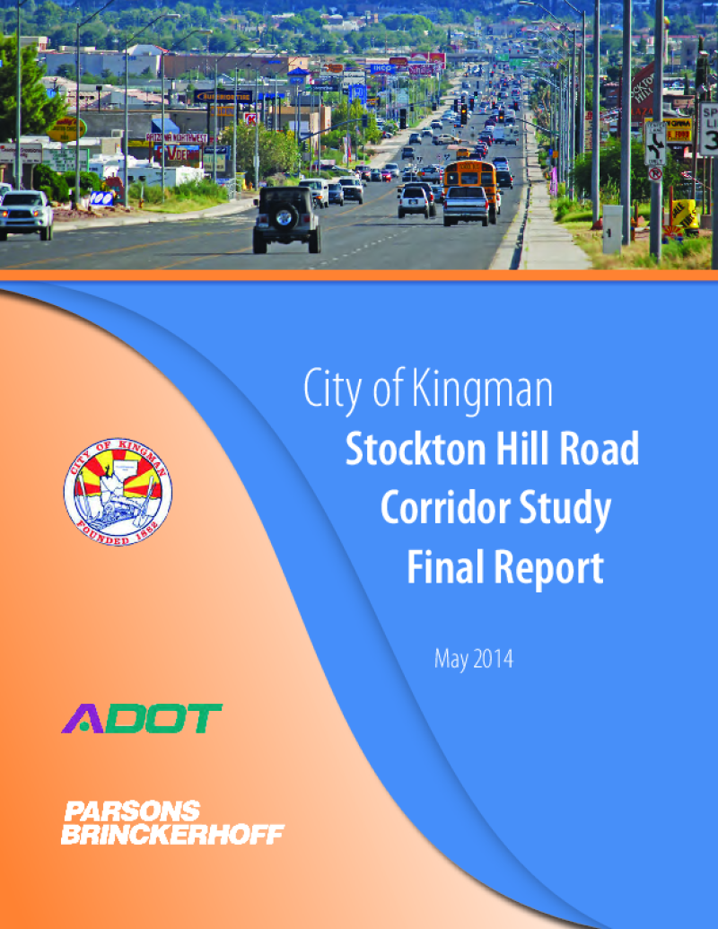
Through the Planning Assistance for Rural Areas (PARA) program, the Arizona Department of Transportation (ADOT), the city of Kingman and the Western Arizona Council of Governments (WACOG) are cooperatively conducting the Stockton Hill Road Corridor Study to identify needs and improvements to address the critical transportation needs along the 2.8-mile section of Stockton Hill Road between Detroit and Northern avenues.
Stockton Hill Road has become the centralized hub for big box commercial, retail, grocery and medical facilities within the region. The type of existing businesses and those planned along the corridor generate tremendous traffic volume. This study is working to develop the traffic, access and development needs for the users of the corridor. The traffic focus includes an in-depth analysis of the intersection volumes and congestion along the corridor.

The primary purpose of this study was to develop a plan that enables the Town to facilitate safer and more efficient infrastructure for the traveling public and guide the development of the Business District. This study recommends phased improvement projects to address the multimodal transportation needs of the community, while steering community development and project funding. The study findings will also be incorporated into the Town's Capital Improvement Planning process for the next 5-, 10-, and 20-year time frames.

The initial step in the Master Plan Update for Tucson International Airport is the identification of a series of goals and objectives that will establish guidelines for the planning process. These goals and objectives reflect the input of the Tucson Airport Authority, the Long Range Planning Council, the Airport’s Planning Advisory Committee, and the Airport’s Consultants. The Goals and Objectives will ultimately form the framework for evaluating the recommended long-range development plan and ensuring that the on-going development of the airport is consistent with the airport’s overall strategic objectives.

This is the sixth update of the original Master Plan first drafted in 1974. While the Master Plan Update addresses traditional master planning elements, including updating the inventory, establishing future facility requirements and preparing an updated Airport Layout Plan, the study’s key focus areas relate to modernization of the airfield through strategic development, including relocation and expansion of the TIA’s parallel runway.
Over the past 15 years, the Phoenix-Mesa Gateway Airport has been in a continual planning and development program, responding to the dynamic air travel market in the Phoenix metropolitan area. A study was done to develop a phased, revenue generating land use and ground transportation plan for an approximate 660 acre parcel, with an adjoining 31 acre privately-owned parcel, both located in the Northeast Area of the Airport. This report presents the analysis, findings, and recommendations in support of those objectives.
This update of the Phoenix-Mesa Gateway Airport Master Plan has been undertaken to evaluate the airport's capabilities and role, to review forecasts of future aviation demand, and to plan for the timely development of new or expanded facilities that may be required to meet that demand. The ultimate goal of the master plan is to provide systematic guidelines for the airport's overall development, maintenance, and operation.

The purpose of the Phoenix-Mesa Gateway Airport Authority Strategic Business Plan is to develop a clear picture of the activities required during the planning period to fulfill our mission and meet our goals. This plan summarizes the short-term and long-term vision of the Airport Authority, identifies business factors that may affect the Airport, and identifies goals and strategies for achieving our mission.